
I now live less than an hour from the nearest mountains.
Just pinched myself. Not dreaming.
It’s entirely possible for me to drive to the Great Smoky Mountains National Park in under 60 minutes—and I’ve taken advantage of that several times in my first month as a Tennessee resident. Can ya blame me?
Between recommendations and Google searches, my ‘Tennessee’ saved list in Google Maps is pretty dotted up with blue pinpoints for hiking trails and waterfalls—most within 2-3 hours from my Knoxville home. It’s both overwhelming and thrilling to have SO MANY options to choose from on any given weekend.
And, the list keeps growing.
A few weeks ago, I Googled hikes in East Tennessee and came across a Roots Rated article: 5 of the Best Overlooked Hikes Near Knoxville. Perfect.
Number 5 on the list—the Obed Wild & Scenic River Trails—specifically caught my attention. Of course, the accompanying photo of a river gorge had me instantly smitten, but it was the description that spoke to my soul:
“An area run by the National Park Service that’s often overshadowed by nearby Great Smoky Mountains National Park, the Obed Wild and Scenic River area is an East Tennessee gem many locals have come to love—and one that doesn’t have the hordes of tourists typical of the GSMNP.”
A gem. Loved by locals. Fewer tourists. SOLD.
I also sold my sister, brother-in-law, and his daughter on visiting Obed with me one Sunday afternoon in August. After studying a map and hiking options on the National Park Service website, I suggested the 3.8-mile roundtrip Point Trail—which leads to the overlook of the river gorge I’d seen in that Roots Rated article.
We picked up a map at the Obed National Wild & Scenic River Visitor Center in Wartburg, TN and drove another 20 minutes or so to the Lilly Bridge area of the park. Point Trail starts at the Lilly Bluff picnic area and winds through the woods to the point (hence the trail name) where Clear Creek and Obed River converge.
A portion of the trail looks like something out of The Hobbit. Really. It felt more like we were journeying from The Shire to Mordor—or, more realistically, tramping through New Zealand—than hiking in Tennessee. But, I’m new here, so what do I know?
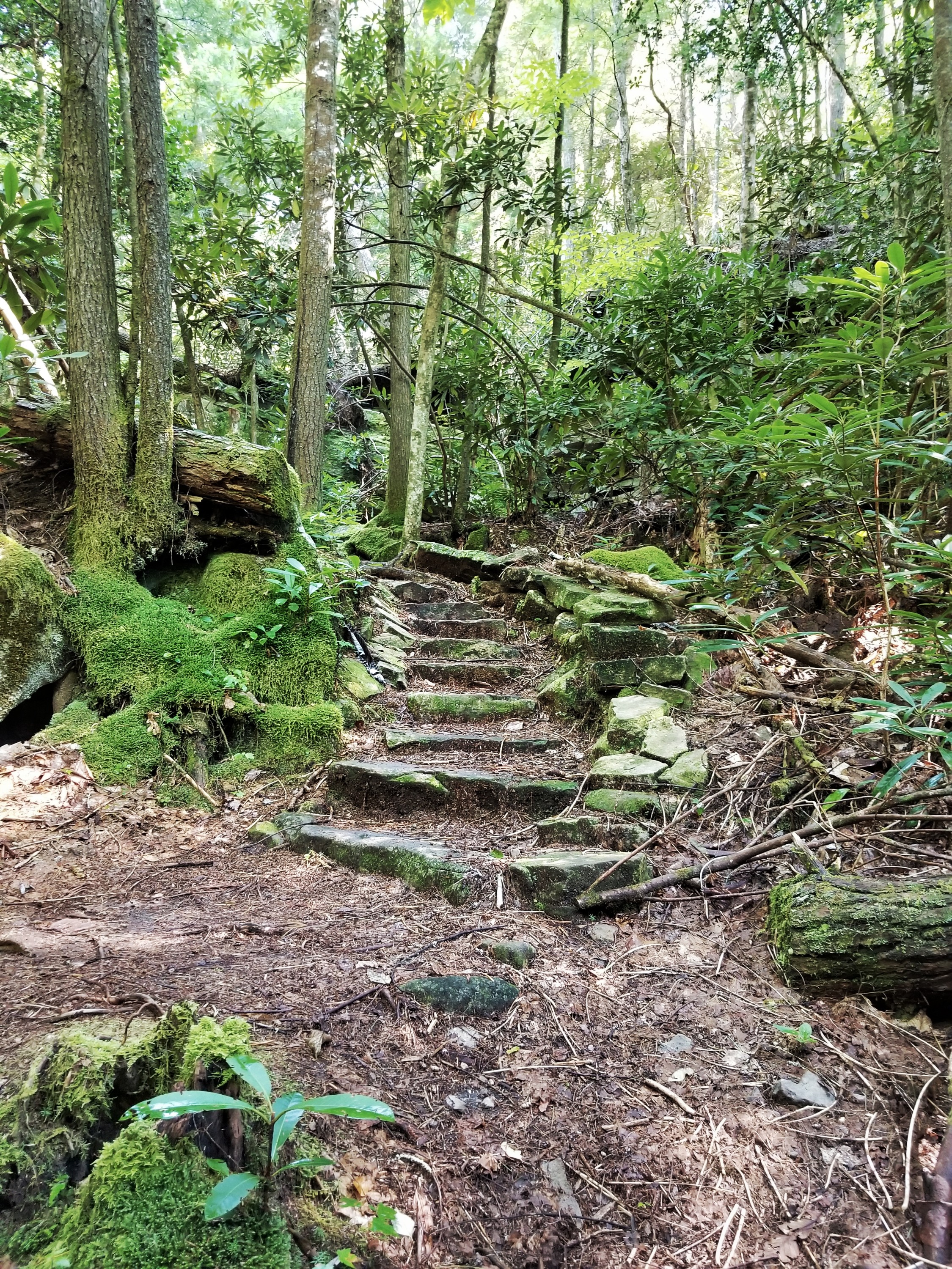


Trust me, though. It’s a beautiful hike—as are the views at the end! Standing on the bluff overlooking the river was exhilarating. If you’re into lofty heights like me, this place is for you.


Hiking Trail at Obed Wild & Scenic River
Overall, the 3.8-mile roundtrip hike took us about 2 hours—including multiple photo stops—and the difficulty was indeed moderate, as noted by the National Park Service. Though we only had time to hike Point Trail, I’m itching to return and cover more ground on the Cumberland Trail.
Friends. Roots Rated got it right. Obed is a MUST.
A gem? Absolutely.
Loved by locals? It has this local’s approval.
Fewer tourists than the GSMNP? Heck yeah. We only saw two other people on the trail the entire time.
Whether you call East Tennessee home or you’re just visiting—pin Obed on your map and plan to go.

